
A
As someone who doesn’t have a driving license (something my sister likes to lord over me to this day…), I am most often unterwegs with public transport. However, courtesy of my generous friends Adam and Wilken who have their own cars, I have done a fair few hikes in and around the Rhineland with the car which I can recommend.
Below is everything you need to know about going hiking with the car – as well as a handful of decent circular day hikes that are easily reached with four wheels.
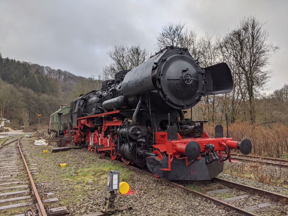
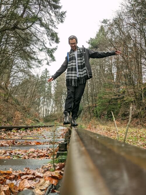
Old steam engine at Dahlhausen, near Radevormwald
Going hiking from Cologne: by car or public transport?
Naturally, there are plenty of benefits to getting out and about with the car: travelling to your own schedule, no cancelled trains, easy to transport the kids or the dog… But there is a significant downside too: the best hiking routes are not circular hiking routes. I’m not trying to be biased, but that’s simply the case from my experience.
Many of Germany’s best walks are long-distance hiking routes cut into shorter, manageable sections, which means that very few share a common start and end point. Generally speaking, circular routes tend to be a bit shorter and (in my experience) a bit less interesting.
But that doesn’t mean there aren’t still some good options out there!
Rather take the train than the car? Read more: The best hikes near Cologne by public transport
The best circular hiking and walking trails from Cologne
Laacher See walk (10km)
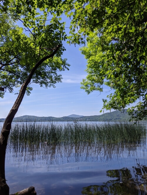
I’ll be honest (and hope I don’t come across as too much of a snob) when I say that I don’t consider this to be a hike. It’s a walk. A beautiful, gentle walk – but definitely not a hike. The route does exactly what it says on the tin – it circles the lake along the shore, from where you can easily visit the convent and its fantastic garden centre. As you might be able to tell from the approach, the lake is actually a volcanic crater and you can still spot water bubbling away at the edge of the shoreline as gases escape from fissures in the rock below… echoes of Dante’s Peak, anyone?
There’s also a steam train – the fantastically-named Vulkanexpress – that runs at certain times from the town of Brohl on the Rhine. I haven’t done it yet, but it’s definitely on my bucket list.
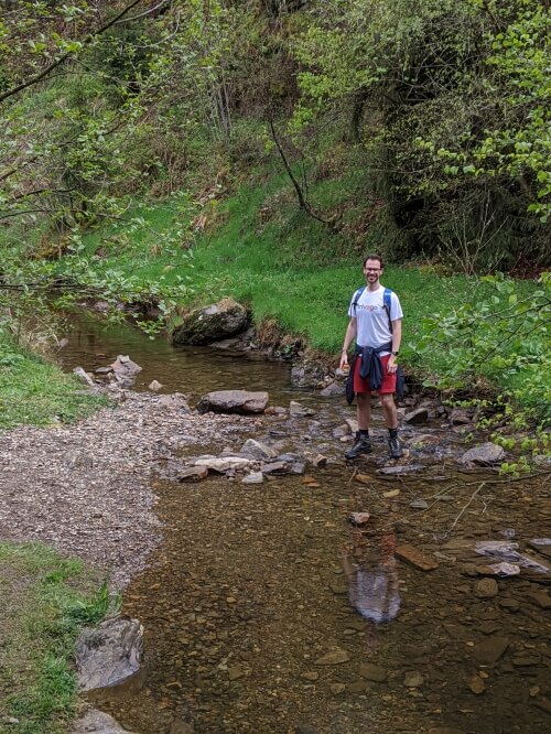
Maria Laach is around an hour’s drive from Cologne and as such is very popular on bank holidays and weekends. I would say this route is perfect for any fitness level, including hiking beginners who aren’t confident of their abilities or anyone with a small or old dog who might not make a longer trip. (I managed the 10-kilometre loop on an injured ankle that the doctor ordered me to rest, so you will be fine.)
Wolves, devils and volcanoes: hiking through caves and ravines in Burgbrohl (16km)
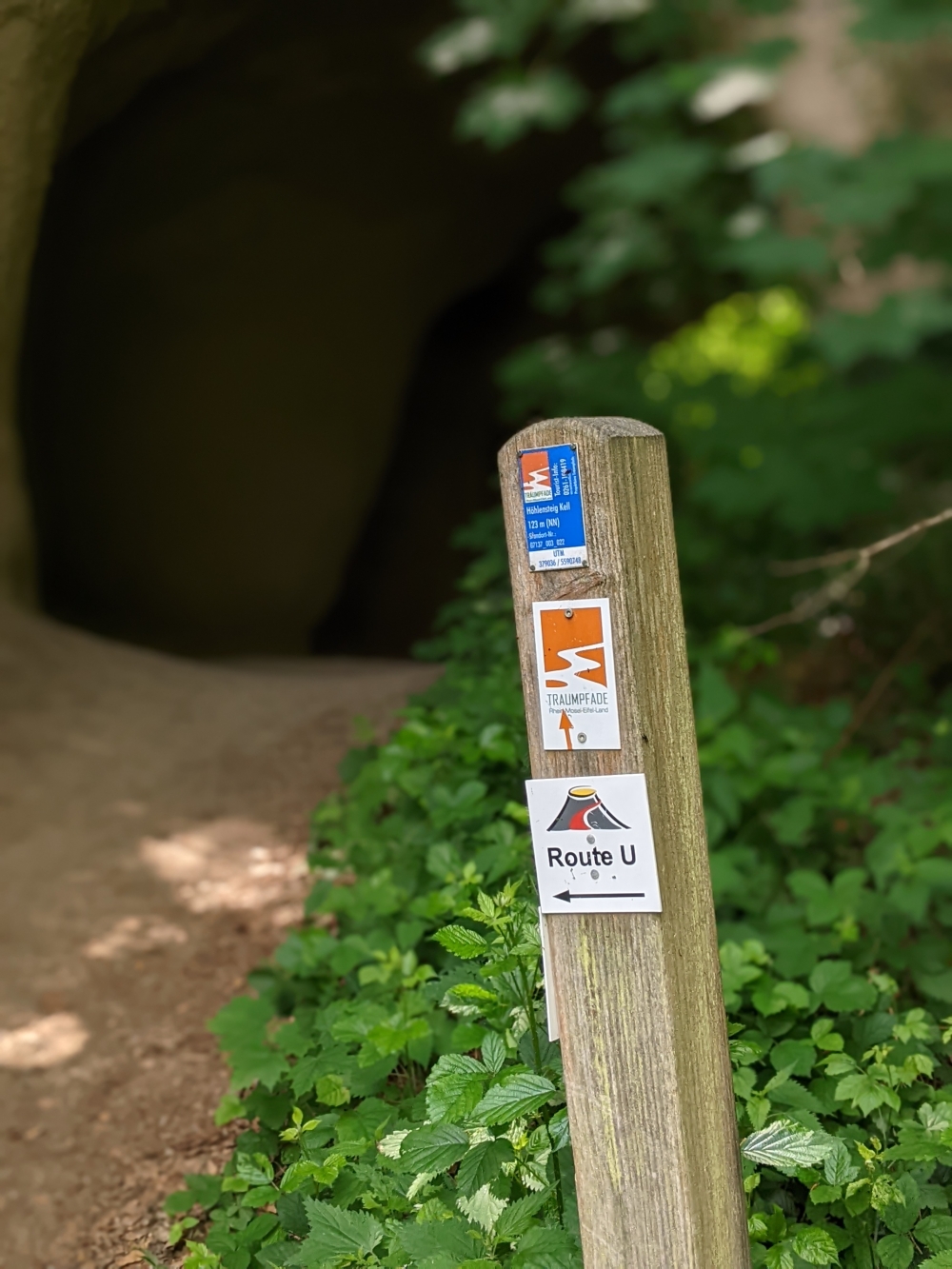
Just a stone’s throw from Maria Laach in the Vulkaneifel, this scenic hiking route takes in some of the area’s most interesting (and best-named) natural landscapes. We started off in Burgbrohl, where the hiking trail begins directly ascending up to the peak of the Teufelsberg (Devil’s mountain) with views of the narrow-gauge railway, the Vulkan-Express. Beneath the mountain, the trail passes through an impressive, but short, network of caves: the Trasshöhlen, but for me the highlight was the dramatic Wolfsschlucht or Wolf Ravine, where the trail takes you through a deep cutting in the Earth with a beautiful waterfall and a tree straight out of Lord of the Rings.
Burgbrohl is around 1 hour from the centre of Cologne by car.
Schloss Burg and the Müngstener Brücke (13km)


This is a short and simple circular walk from Schloss Burg, found just on the outskirts of Solingen. The castle itself is genuinely very impressive and worthy of some photographing. Strangely enough though, there is very little mention of its most famous former resident (to Brits at least): Anne of Cleves.
The walk essentially takes you in a gentle loop along both sides of the Wupper River. The track largely follows woodland routes, taking you under the Müngstener Brücke (Müngsten Bridge), a beautiful wrought-iron bridge which is still the highest railway bridge in Germany today. You’ll also pass a little alcove lookout point, a sculpture garden and a hand-operated ferry-crossing, before finishing conveniently at the chairlift to take you back up to the castle. Trying the local Bergische Waffeln is optional, but recommended…
Schloss Burg is only around a thirty-minute drive from Cologne and this simple and non-demanding walk makes a nice add-on to a day trip to explore the castle. Ideal for a trip with kids.
Like castles? Read more: The best castles near Cologne to visit on a day trip
Burg Satzvey and the Katzensteine loop (15-17km – but can be shorter)
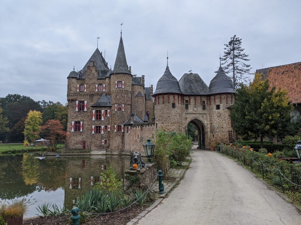
Burg Satzvey
This is the most recent hike I’ve done on this list and I have to say, I wasn’t blown away. However, I decided to add it to the list for two reasons: 1. It includes the majestic Burg Satzvey, which is as impressive a highlight as you can get and 2. It was a very manageable hike and therefore suitable for a broad range of people.
The route starts in one of the carparks of the Hochwildpark Rheinland (which may also be worth a visit if you are planning a day out with kids), before heading towards Burg Satzvey (you’ll need to make a slight detour to see the castle in full as the route just skirts past it). From the castle, you’ll head over the train line (via an on-demand railway crossing – you literally have to call for the operator to let you through – very retro) before visiting the Katzensteine, a group of giant rock formations. This second half of the route takes you via fields and forests towards Kommern and back again, but if you were looking for a gentle day out, you could easily make your way back to the car after the Katzensteine (this would make it around 9 or 10km).
The car park is around a 50-minute drive from the centre of Cologne.
The heart of the Ahr valley and a taste of the Red Wine Hiking Route (18km)
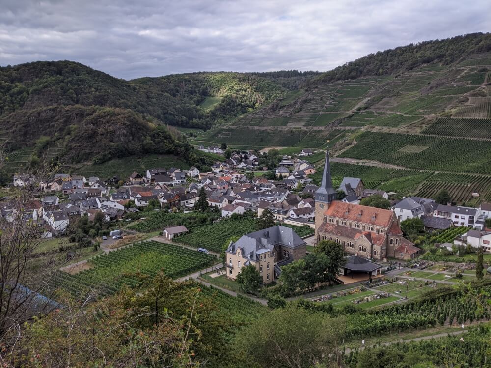
Mayschoß in the Ahrtal
Starting in Altenahr, this circular hike takes in the setting of the dramatic heart of the Ahr valley. You’ll have some steep ascents early on, but the views of the beautiful vineyards in the sun will make it worth it. The first section will treat you to numerous views of the ruins of Are castle, while the second half follows the Rotweinwanderweg or Red Wine Hiking Route, which is exactly as good as it sounds. Probably not one for the kids…
You’ll pass through the pretty town of Mayschoß and finish up again in Altenahr, via the ruins of the castle. Altenahr is around a 45-minute drive from the centre of Cologne. You can read more about the Rotweinwanderweg here (you might want to leave the car at home for this one…!)
UPDATE: Since the devastating floods in 2021, a lot of renovation work has taken place in the Ahr valley, but this is very much on-going so double-check your plans in advance. I did the Rotweinwanderweg from Rech to Ahrweiler in October 2022 with minimum disruption, but the train only goes as far as Walporzheim.
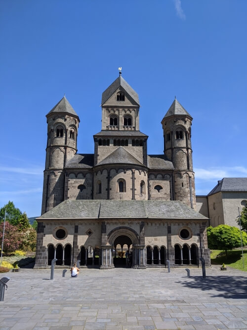
Altenberger Dom and the Dhünntalsperre Reservoir (15km)
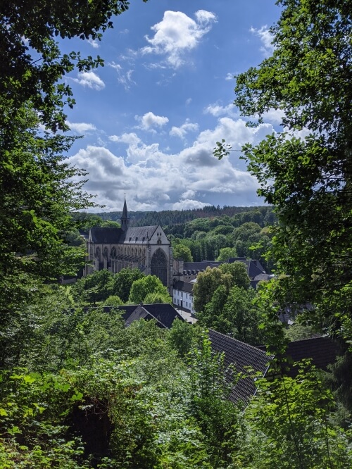
This is a nice popular hiking route, which is on the shorter side and just a Katzensprung from Cologne. This hike isn’t difficult or too demanding, so it should be manageable for varying levels of fitness. The trail starts at the Altenberger Dom (which is a bit of a showstopper, let’s be honest) before heading towards the Dhünntal reservoir and looping back again through some pretty woodlands (don’t forget to head up to the Prinzenblick viewpoint for the most Instagrammable shot of the cathedral). The route does have a few inclines and steeper sections, but these are generally on paved roads.
Only a 32-minute drive from the city, this is an easy circular hike near Cologne by car. And at only 15 kilometres in total, this is an gentle hike that won’t leave you too knackered afterwards.
A loop around Radevormwald (25km)
I had literally never heard of this village in the Bergisches Land before and while the town itself is pretty unremarkable, I did really enjoy this hike. Known as the Forest-Wool-Water way (Wald-Wolle-Wasser Wanderweg), the route leads you through a forest, skirts around a reservoir, cuts through a former textile factory district and – my personal highlight – follows a disused railway. It’s a really varied route with plenty of sights to take in along the way.
Radevormwald is a 46-minute drive from the centre of Cologne. We started the route from a central car park in the middle of the town.
The centennial way from Monschau (18km)
Anyone who has been to Monschau knows what a lovely destination the town is in itself. But for those who want to stretch their legs, the Jahrhundertweg or Centennial way is a great circular hiking route near Cologne. The route covers a loop south of Monschau and takes in some of the area’s more rugged, hilly landscape. There’s a good mixture of forested valleys and open fields on the route, but the highlight for me was exploring a slice of Belgium on the Vennbahn – a former railway line and today one of the world’s most bizarre borders; in the photo above, the paved cycle path is Belgian territory, but impossibly, the verge either side of it is Germany. (We did half of this hike during unending, torrential rain, but I still enjoyed myself so it must be a pretty awesome route.)
Monschau is around 1 hour 23 minutes’ drive from the centre of Cologne, so it’s not for those short on time. Due to the longer travel time, this hike is best done in summer when the days are longest and there is no need to rush.
Traumschleife Elfenlay hike to the Hubertus Viaduct, Boppard (10km)
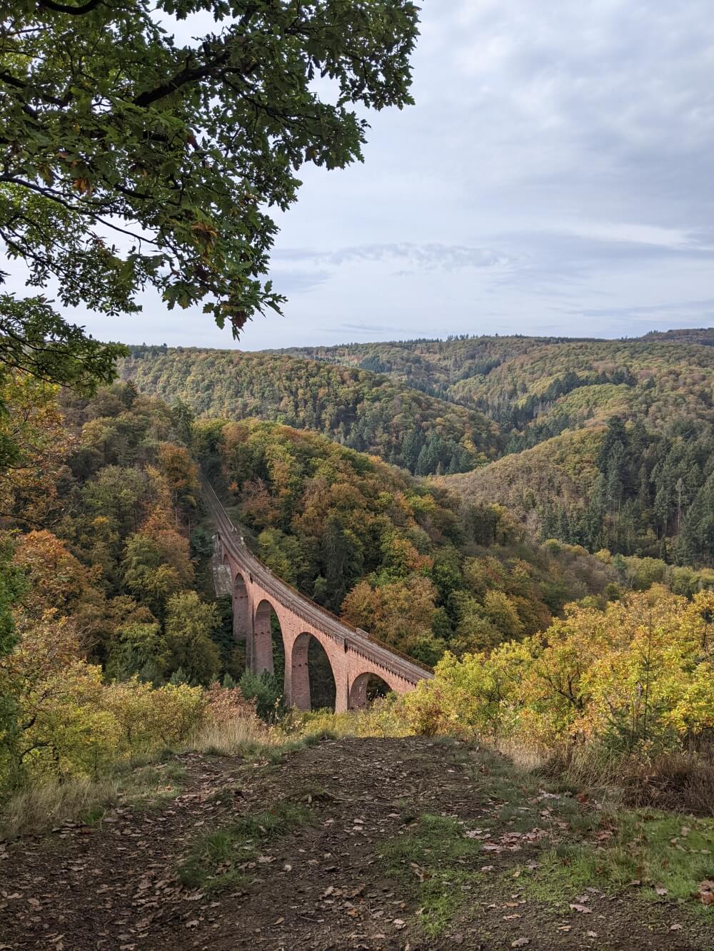
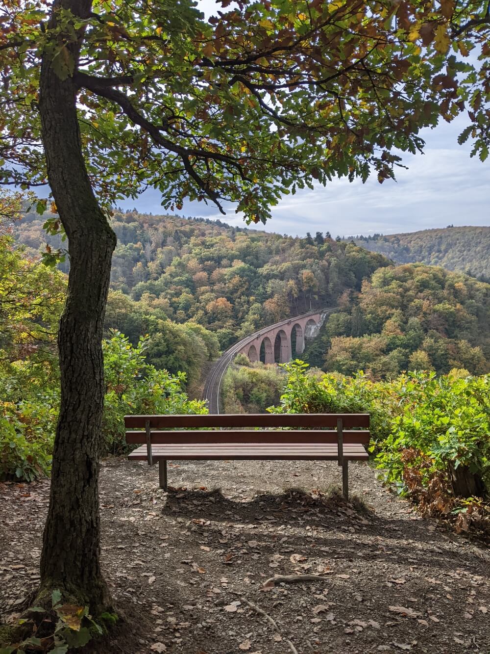
I’d wanted to do this hike ever since I’d come across pictures of the Hubertusviadukt on Google. Starting in Boppard, this Traumschleife Elfenlay circular route takes you up into the Hinterland behind the village, crossing paths with the Hunsrückbahn (Hunsrück railway) several times. For part of the route, you’ll follow the Hunsrückbahn hiking path, where you’ll find printouts of the train timetable at the most photogenic points for capturing the (very underwhelming) train on its route. I thought this hike was perfect for October, as the turning leaves made for some great photos.
Boppard is just over 1 hour 30 minutes’ drive from Cologne and can also be reached by train with a change at Koblenz. For this route, the optimum car park is located at St. Remigiusplatz.
Do you have any hiking routes near Cologne to recommend?
Comment below!
Related
Source link